
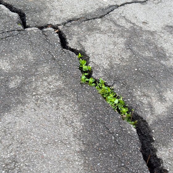
Buildings, paved surfaces, vegetation, traffic and elevation can create significant differences in environmental conditions across a city. Regional forecasts and reference networks provide essential context, but may not represent what is happening at a specific street, park, public space or vulnerable infrastructure point.
A distributed monitoring strategy combines weather stations and temperature-humidity sensors with dedicated measurements of WBGT, particulate matter, precipitation and water level. This makes it possible to assess local microclimates, identify heat-stress conditions, compare PM concentrations between locations, observe intense rainfall and verify water accumulation near underpasses and other drainage-sensitive areas.
Connected data-acquisition systems can store measurements, evaluate configurable thresholds and transmit data or alarms to operational platforms. The resulting information supports targeted assessments, established response procedures and longer-term planning based on measured local conditions.
Where outdoor safety is a concern, optional thunderstorm detection can provide early awareness of approaching lightning activity for exposed public areas, events and personnel.


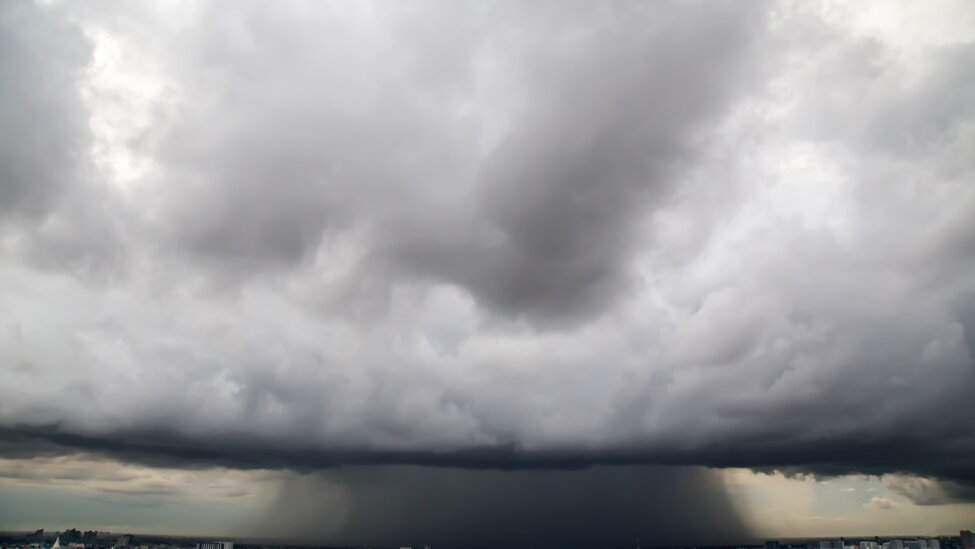
Buildings, paved surfaces, vegetation, elevation and traffic can create significant differences in weather conditions over short urban distances. A single observation point may therefore be insufficient to represent every neighbourhood or critical location.
Automatic weather stations can measure air temperature, relative humidity, atmospheric pressure, wind, solar radiation and precipitation. Where a complete station is not required, dedicated temperature and humidity sensors can extend coverage across parks, streets, public spaces and infrastructure sites.
Comparing time-aligned measurements from representative locations helps city teams identify local patterns and understand the conditions affecting each area. Appropriate sensor siting remains essential to ensure that buildings, surfaces or nearby obstacles do not distort the observations.
Where outdoor safety is a concern, optional thunderstorm detection can provide early awareness of approaching lightning activity around exposed public spaces, events and personnel.
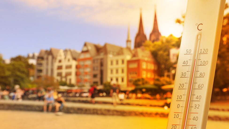
Air temperature alone does not describe the thermal stress experienced by people outdoors. Humidity, air movement and radiant heat can significantly change the effective heat load, particularly in paved, unshaded or densely built environments.
The Wet Bulb Globe Temperature (WBGT) index combines natural wet-bulb temperature and globe temperature and, for outdoor conditions with solar radiation, air temperature. It therefore provides a more representative indicator of heat stress than a conventional temperature reading alone.
Portable assessments or continuous monitoring can be carried out at exposed workplaces, sports facilities, event areas and other heat-sensitive urban locations. When interpreted against limits and procedures established by the responsible organisation, WBGT measurements can support activity planning, rest or access measures and the evaluation of interventions such as shade or schedule changes.
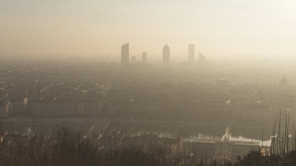
Particulate-matter concentrations can change throughout the day and vary between traffic corridors, residential districts, green areas and other urban locations. Weather conditions may further influence how particles accumulate or disperse.
Outdoor transmitters provide continuous measurements of PM1.0, PM2.5 and PM10. Combining these measurements with local wind, temperature and humidity data provides useful context for interpreting changes and comparing monitoring points.
A distributed network can support hotspot screening, temporal trend analysis, targeted investigations and the assessment of local measures. These measurements can complement established air-quality networks, but their role and required performance must be defined according to the intended monitoring purpose and applicable requirements.
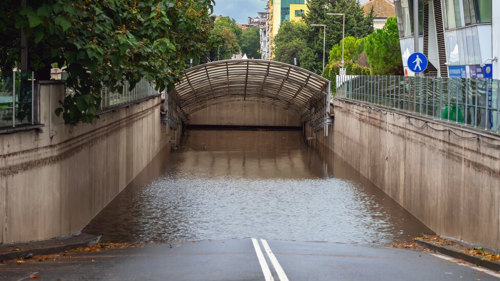
Heavy rainfall can develop unevenly across a city and place local drainage systems under pressure within a short period. Underpasses, low-lying roads and other vulnerable locations therefore benefit from measurements taken close to the area of concern.
Tipping-bucket and weighing rain gauges measure precipitation accumulation and rainfall intensity. Distributed instruments make it possible to compare events across the city and determine whether local rainfall is approaching a predefined critical threshold.
At particularly vulnerable sites, continuous water-level sensors can complement rainfall measurements by detecting actual water accumulation in drainage channels, collection sumps or other representative monitoring points. Level trends and configurable thresholds provide more direct evidence of developing flood conditions.
Connected data-acquisition systems can combine rainfall and water-level measurements, store historical data and transmit alarms to operational platforms. This information can support inspections, temporary access restrictions and other established response procedures.
Rainfall monitoring provides early evidence of the event that may create the risk, while level monitoring confirms whether water is accumulating at the monitored location.


Let us move from a culture of reaction to one of prevention and build resilience by reducing loss of life.