

Effective water management depends on understanding how weather conditions influence the hydrological response of a catchment and how water quality evolves over time. Regional forecasts provide useful context, but local measurements are essential to capture real conditions at rivers, reservoirs, groundwater systems and urban drainage points.
A distributed monitoring approach combines precipitation sensors, automatic hydro-meteorological stations, water-level instruments and water-quality measurements to describe both the quantity and the condition of water within a system. This includes rainfall inputs, surface and subsurface water levels, and selected chemical and physical parameters such as pH, conductivity and dissolved oxygen.
At selected monitoring points, continuous and portable water-analysis solutions can complement hydrological measurements, supporting field verification and targeted investigations. Data acquisition systems and telemetry platforms enable central access to measurements, historical records and alarms, helping operators interpret changes across multiple locations.
Together, these measurements support flood-risk assessment, drought monitoring, reservoir management and water-quality evaluation, providing a more complete understanding of water systems under changing environmental conditions.


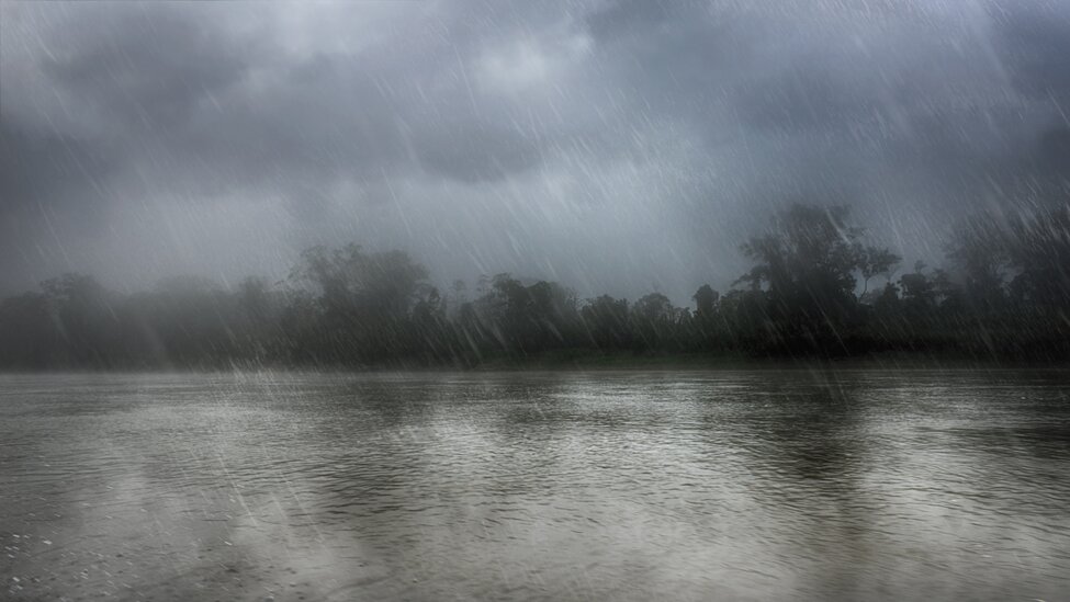
Hydrological response depends not only on total precipitation, but also on its intensity, duration, spatial distribution and type. A single measurement point may not represent the conditions affecting an entire catchment, particularly where elevation and local weather patterns vary.
Senseca tipping-bucket and weighing rain gauges measure precipitation accumulation and intensity. Heated versions support measurements under wintry conditions.
Automatic weather stations can combine precipitation measurements with air temperature, relative humidity, wind and solar radiation, providing additional information for interpreting snowmelt and evaporative conditions.
Distributed stations based on low-power data loggers help reveal where precipitation is occurring and how the event is developing across the catchment.
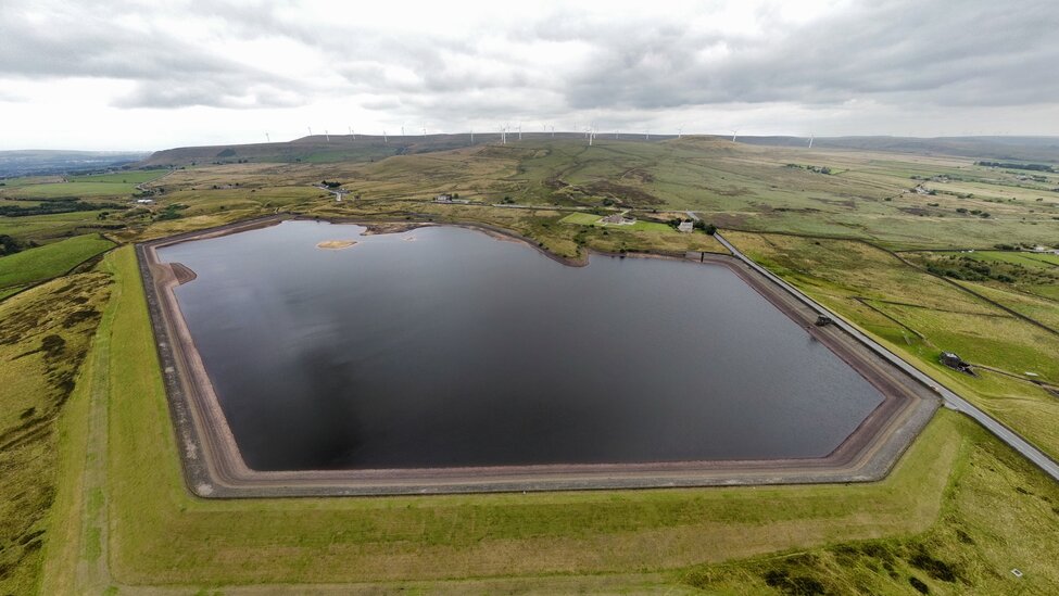
Water levels can change at very different rates depending on catchment characteristics, antecedent conditions and the development of a precipitation event. Monitoring these changes shows the actual response of rivers, streams, reservoirs and aquifers.
Senseca radar and ultrasonic sensors provide non-contact water-level measurements in rivers, channels, retention basins and reservoirs. Hydrostatic level probes support continuous measurements in surface water and groundwater wells, including installations with restricted space.
The most appropriate measuring principle depends on the site, measurement range, installation conditions and required level of redundancy. At critical locations, radar, ultrasonic and hydrostatic technologies can be combined to compare independent readings and identify measurement deviations.
Time-aligned precipitation and water-level records reveal the timing, rate and magnitude of the hydrological response. Where an established stage–discharge relationship is available, recorded water level can also provide the input for calculating discharge within the wider hydrological workflow.

Hydro-meteorological stations are frequently installed in exposed, difficult-to-access locations where grid power and communication coverage may be limited. Data continuity therefore depends on the complete monitoring architecture, not only on the measuring sensor.
Senseca low-power stations and data loggers combine on-site data storage, autonomous operation and remote transmission. Battery- and solar-powered configurations reduce dependence on fixed infrastructure and support extended operation in unattended locations.
Cellular, radio and satellite communication options connect field stations with control centres and web platforms. Stored measurements preserve the local record during temporary communication interruptions, while remote access supports station verification, configuration and maintenance planning.
At high-priority measuring points, water-level sensors based on physically different technologies can provide independent readings. Automated comparison, diagnostics and alerts help identify sensor, power or communication problems before they create significant gaps in the hydrological record.
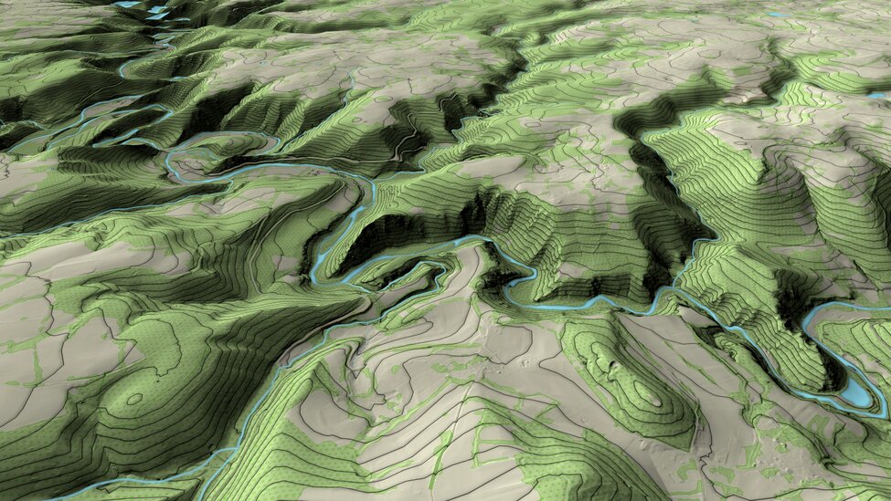
Measurements from individual stations become more useful when they can be viewed together and made available to the teams responsible for water management.
Senseca data-acquisition systems integrate precipitation, weather and water-level measurements from multiple monitoring locations. Web-based platforms provide central access to current values, historical records, time-series trends and station status.
At selected fixed monitoring points, the multi-channel controller can integrate water-analysis sensors for pH/ORP, electrical conductivity and temperature, making measurement and diagnostic data available to higher-level systems. Portable water-analysis instruments complement continuous monitoring with field measurements of pH/ORP, conductivity and dissolved oxygen.
Combining hydrological and water-quality observations helps teams compare locations, investigate changes and build a more complete understanding of current water conditions. Configurable thresholds and alerts can support flood warning, drought assessment, reservoir operation and targeted water-quality investigations.


Observing and monitoring the water cycle is essential for understanding how its changes impact precipitation patterns, droughts, floods, and the overall availability of water resources.