
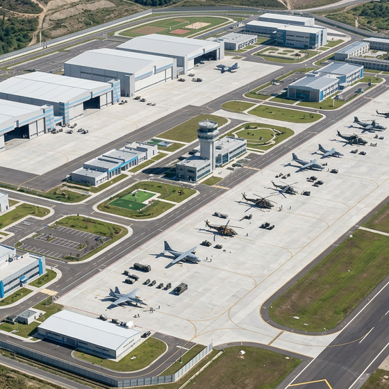
Air bases, operational camps and field units may face difficult environmental conditions, often in remote areas or with limited infrastructure. Local weather observations help plan interventions and adapt activities as conditions change.
Reduced visibility can affect landings, movements and access to operational areas. Heavy rain can compromise fields, communication links and logistics areas. Wind and gusts can affect temporary structures, the handling of equipment, and operations involving helicopters and drones.
Local measurements complement forecast information and contribute to understanding conditions in the mission area. Integrated into supervision and alert systems, meteorological data support team coordination, personnel safety and operational continuity.


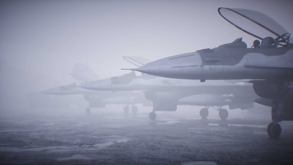
Air bases, heliports and temporary runways support the transport of personnel and materials, medical evacuation and assistance operations.
Visibility and present weather sensors provide continuous observations of meteorological optical range and atmospheric phenomena such as fog, rain and snow, which can affect these activities.
This information helps operators follow local conditions and supports the assessment of air operations and ground movements, alongside other operational information and the applicable procedures.
Communication interfaces and standardised weather codes facilitate integration into base observation and supervision systems.
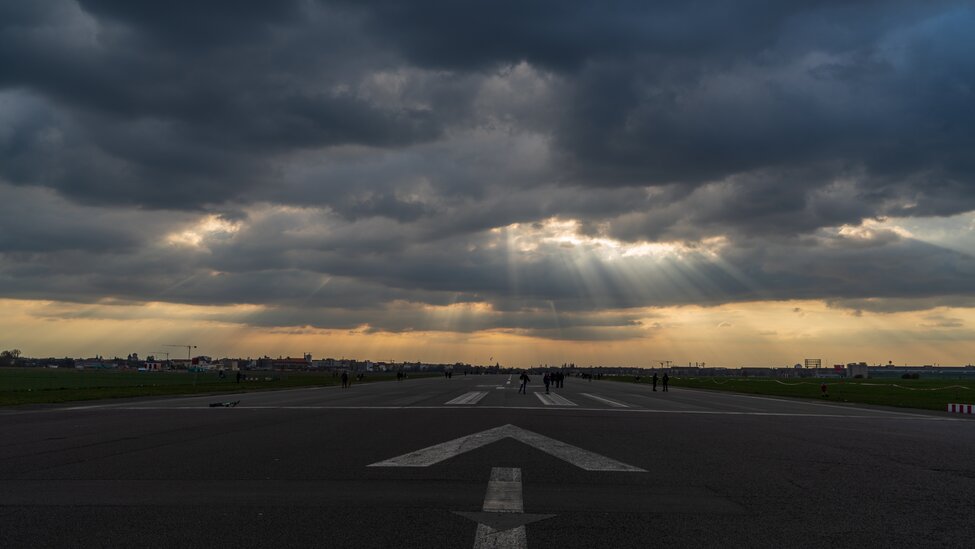
In military bases, temporary camps and relief areas, intense precipitation can compromise access routes, storage areas and the functionality of infrastructure.
Measuring the amount and intensity of rainfall makes it possible to track the progress of events and supports stormwater management, the verification of vulnerable areas and intervention planning.
Rainfall data can be integrated into remote monitoring systems and can trigger alerts when site-specific thresholds are exceeded.
Heated configurations also allow solid precipitation to be measured through melting, extending monitoring to low-temperature environments.
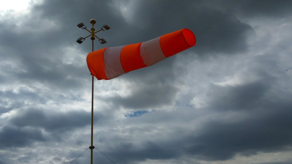
Wind speed, direction and gusts are important parameters for operational meteorology and for managing field activities.
Measurements help assess conditions for helicopter and drone operations, material handling and the use of temporary structures. In search, rescue and logistics support missions, this information helps identify operational windows and adapt activities to site conditions.
Ultrasonic technology enables measurements without moving parts, reducing maintenance requirements. Configurable intervals for acquisition, averaging and gust calculation allow the data to be adapted to the needs of each application.


Runway excursions accounted for 21% of the aviation industry’s total accidents over the last decade, from 2015 to 2024.