
Flood alerting uses water level data to identify conditions that may require a rapid operational response. In river monitoring, level measurements support tide control and the observation of flood protection or shipping infrastructure. In surface water monitoring, collected rainwater can be monitored to track changing conditions and support control of the collection system. Reliable, traceable data helps operators recognize when water levels approach critical limits, allowing them to act before an overflow or underflow affects the monitored infrastructure. Self-sufficient measurement and recording support continued operation during heavy rain and flooding, while redundant measurement sets provide an additional basis for checking data integrity. Senseca develops the complete system, from hardware to software, to support a secure and traceable measurement chain for teams responsible for rivers, flood protection assets, shipping infrastructure, and rainwater collection systems.


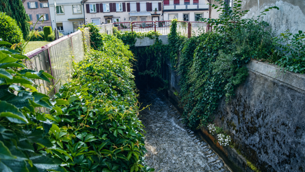
Senseca measurement technology supports river monitoring by recording water levels relevant to tide control and the operation of flood protection or shipping infrastructure. Continuous level information helps responsible teams identify changing conditions and recognize when water is approaching a defined operational limit. When an alarm condition occurs, the system can send a message automatically and autonomously to the portal, helping reduce the time between a change in water level and the operator's response. This gives teams responsible for rivers and related infrastructure a direct way to maintain oversight without depending on manual checks at the monitoring location.
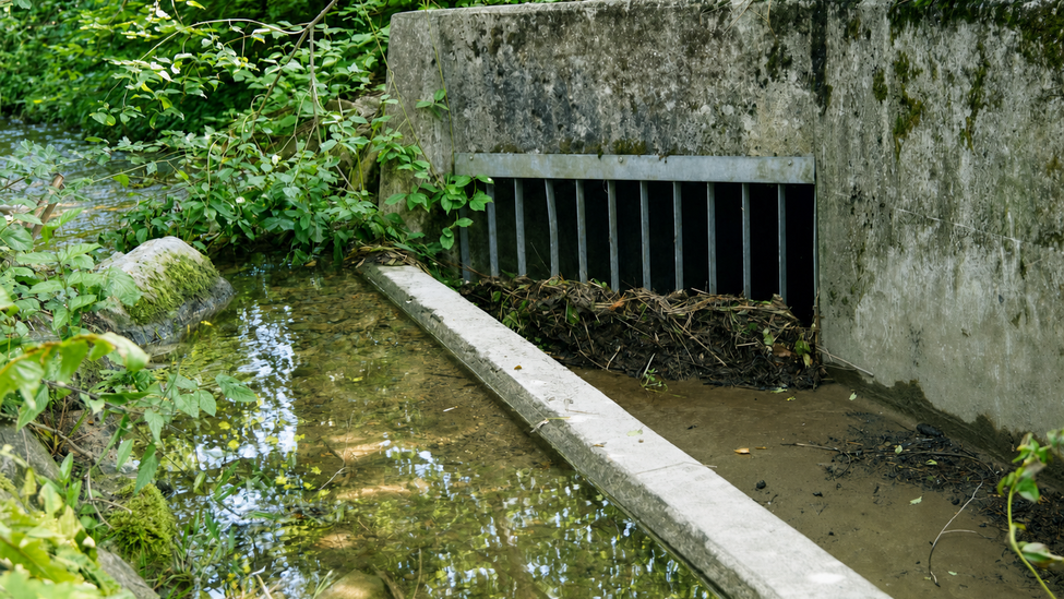
Surface water monitoring can be used to observe collected rainwater and support control of the monitored collection system. Senseca technology provides the measurement basis for identifying changes in water level and recognizing conditions associated with over- or underflow control. The system can send alarm messages automatically when a relevant deviation is detected, helping operators respond to changing conditions while the information is still current. This is particularly useful for teams that need to supervise collected rainwater remotely and want alerts to reach the responsible users without requiring continuous on-site observation.

Flood alerting only supports timely action when the warning reaches the right people quickly. Senseca sends alarm messages immediately and fully autonomously to the portal via SMS, e-mail, or push notification. Using several delivery channels gives operators a practical way to receive information according to their working environment and communication setup. Automatic transmission shortens the required response time and reduces dependence on manual data review. For teams monitoring river levels, flood protection or shipping infrastructure, and collected rainwater, the notification function creates a direct link between a detected measurement deviation and the next operational decision.


In the dynamic lifecycle of reservoir management, intelligent automation shifts waterflooding from a blind, reactive push into a surgical, data-driven optimization of net present value.